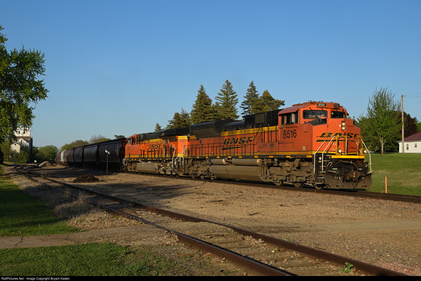
I know people probably don't think of steep hills when they think of southwest Minnesota, but there are several places where trains face some fairly substantial grades on BNSF's Marshall Subdivision. The descent and ascent into and out of the Minnesota River valley at Granite Falls is one. The other is here south of Marshall as trains follow the meandering Redwood River to a place close to its source at the top of the Buffalo Ridge near Florence. While not technically a continental divide, it is a line of demarcation for two major watersheds in the region. At Florence, everything north and east of there flows to the Minnesota (and eventually Missisippi) River, while everything south and west flows to the Big Sioux (and eventually Missouri) River. Of course, it all ends up in the Gulf of Whatever Your Political Persuasion Is, but it's still fascinating to me to see how the activity of glaciers thousands of years ago dictates much of our life here in this part of the country, including the speed of our trains. Speaking of which, back to the photo, where a loaded southbound BNSF grain train is doing its best to surmount this geographic obstacle as it battles upgrade through Russell, MN behind an SD70ACe. A GE is also pushing on the rear, but the second unit is cut out (maybe because of the burn marks there by the radiator?), so with over 12,000 tons on the drawbar and a hpt rating somewhere south of 1, it was a lengthy slog up the hill to the top of the Prairie Coteau (prairie highlands). It's a sight and sound worthy of a visit, even without the allure of SD40-2s on the nearby RCPE.